
Newfoundland and Labrador
is the easternmost province of Canada. Situated in the country's Atlantic region, it is composed of the insular region of Newfoundland and the continental region of Labrador to the northwest, with a combined area of 405,212 square kilometres (156,500 sq mi). In 2018, the province's population was estimated at 525,073. About 92% of the province's population lives on the island of Newfoundland. The capital is St. Johns which is the largest city. Almost 40% of the provinces population live in St. Johns.
A former colony and then dominion of the United Kingdom, Newfoundland became the tenth province to enter the Canadian Confederation on March 31, 1949, as "Newfoundland". On December 6, 2001, an amendment was made to the Constitution of Canada to change the province's name to Newfoundland and Labrador.
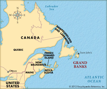

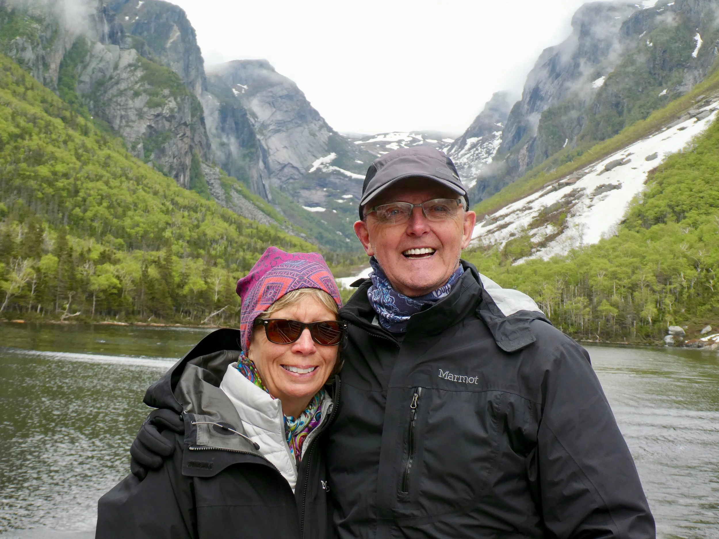
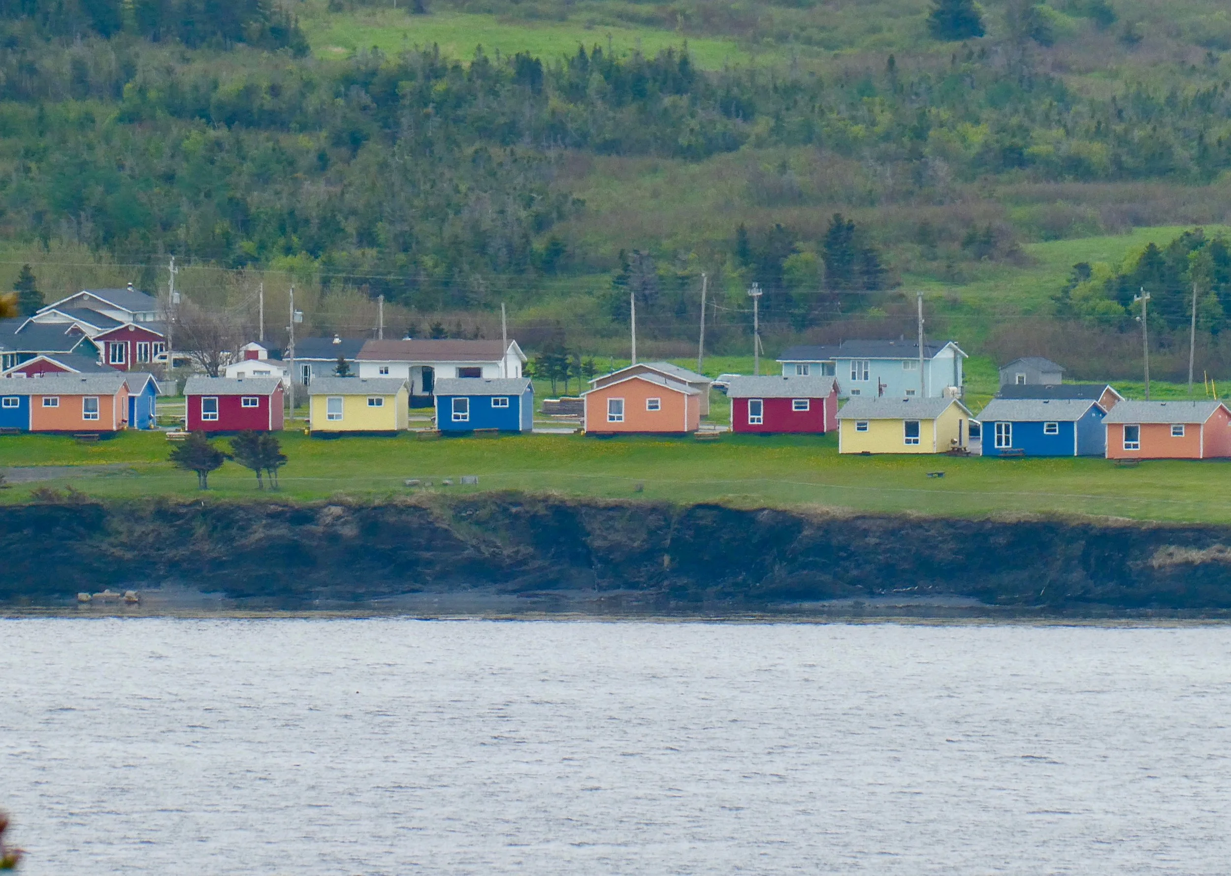
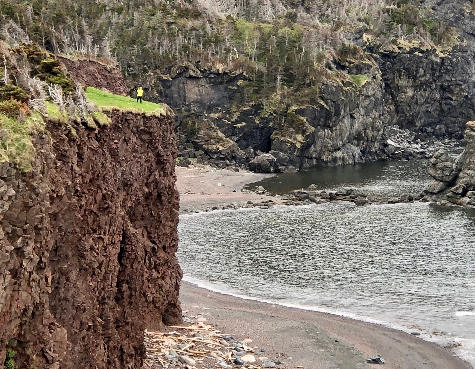
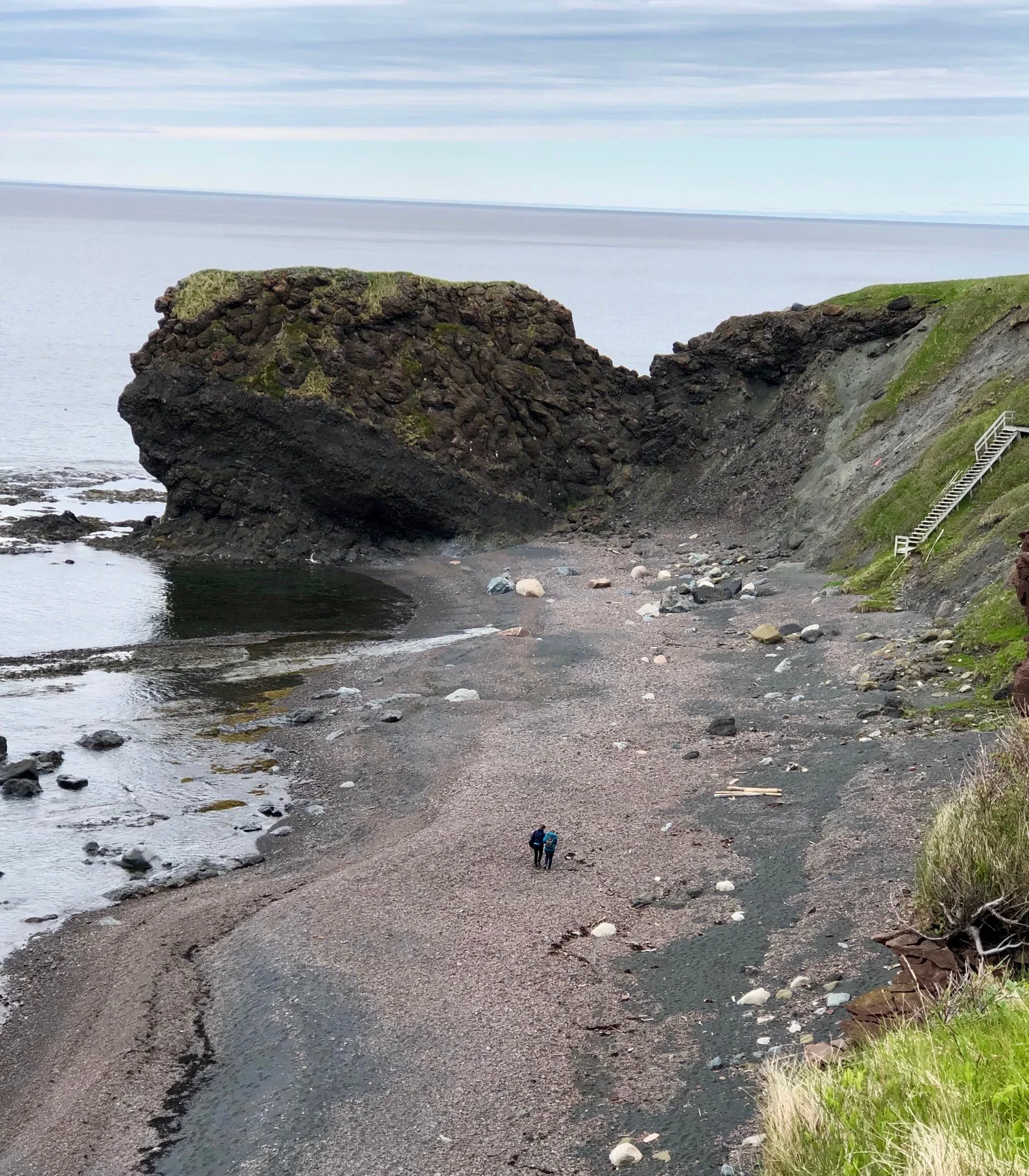
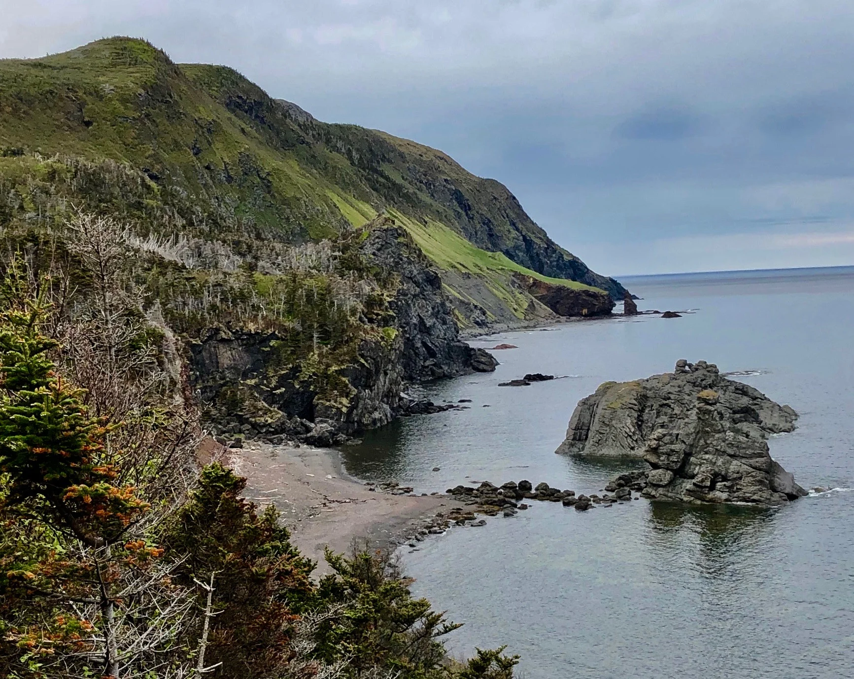
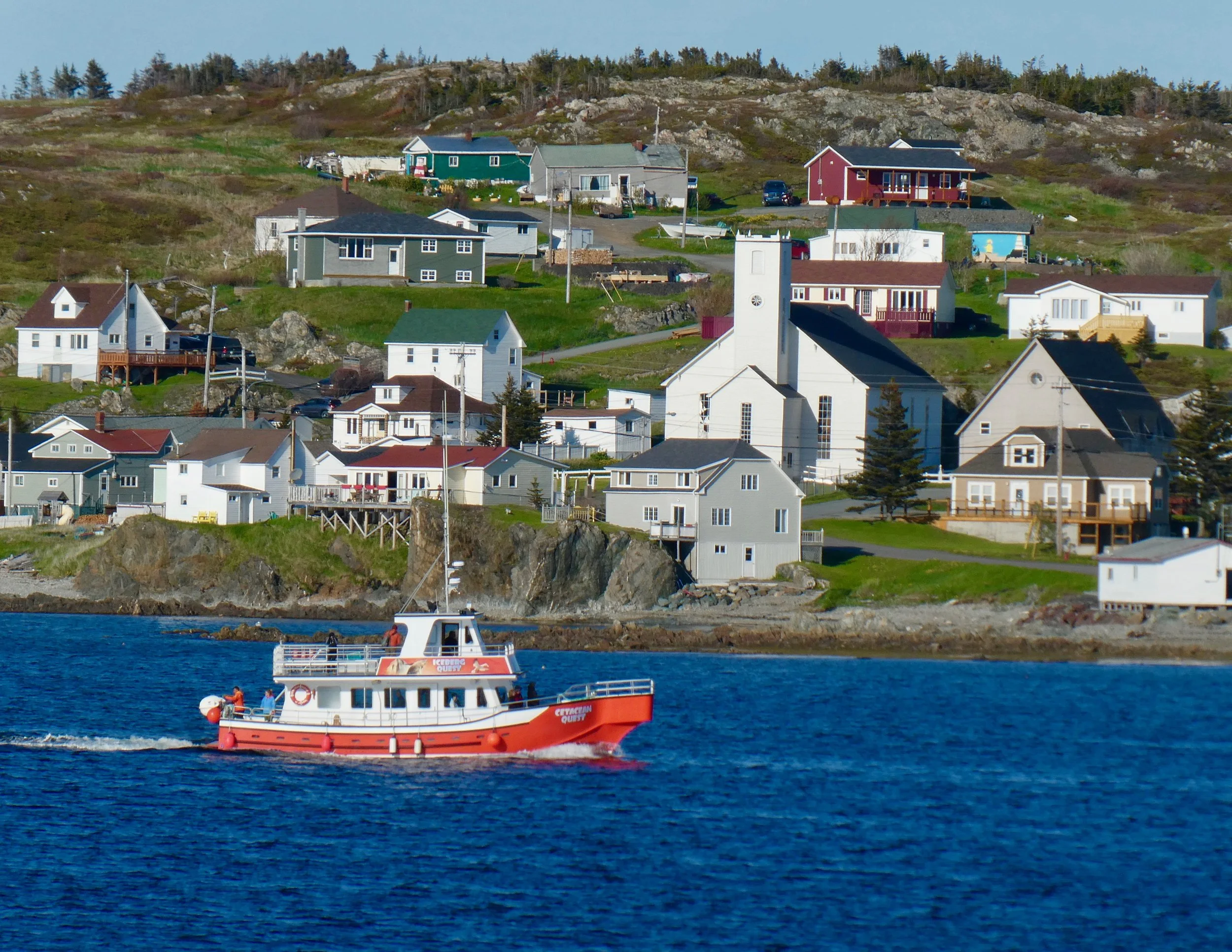
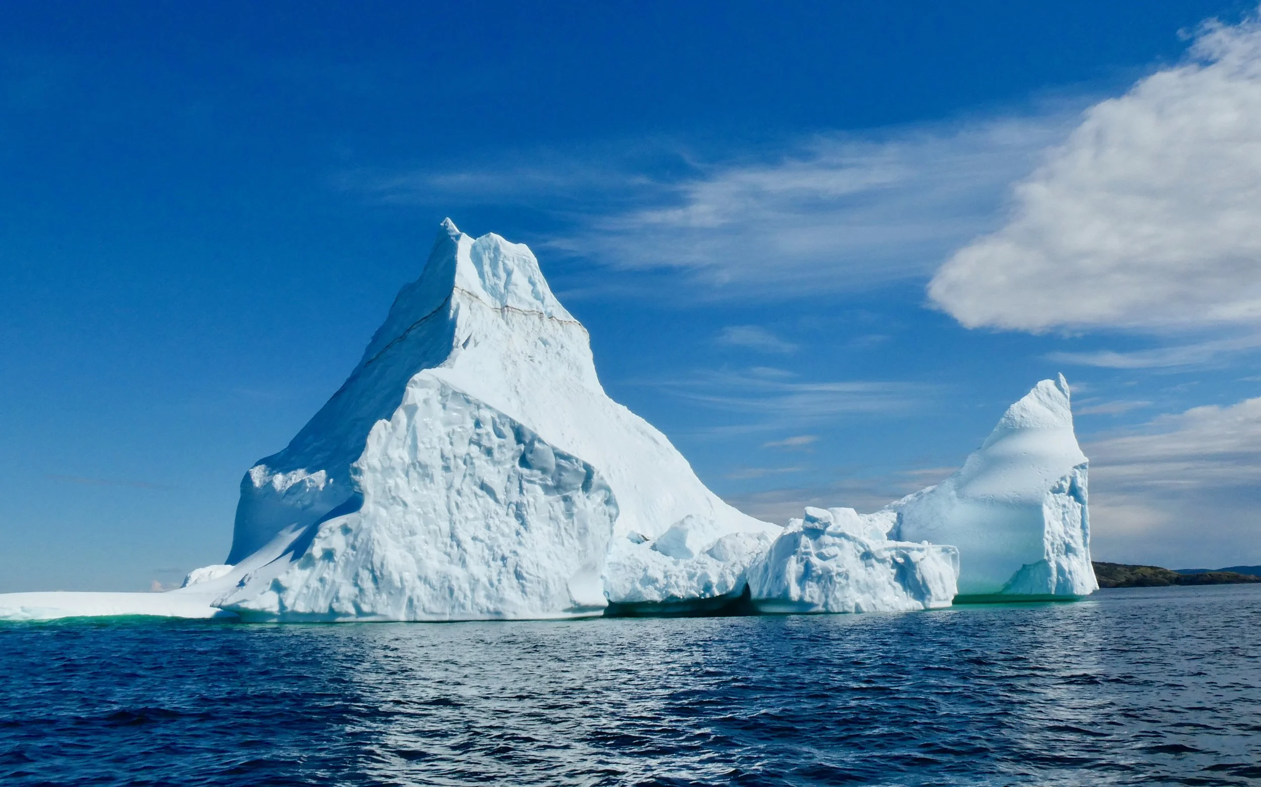
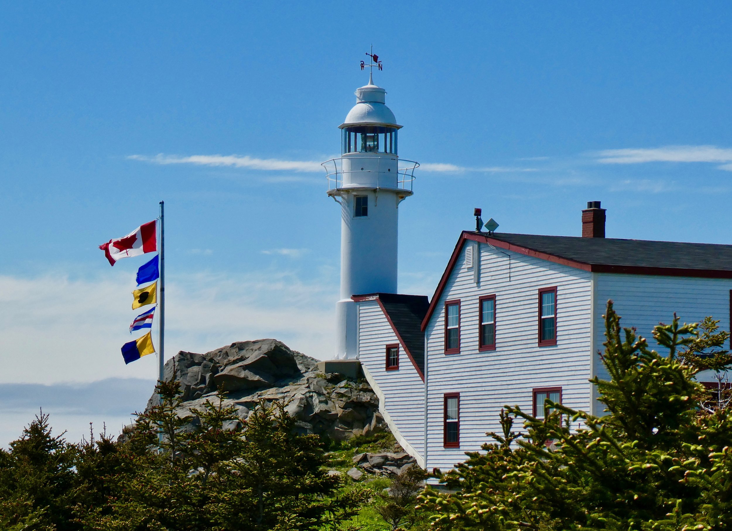
What an amazing place to visit. If you have been there and only to St. Johns the capital, you have missed a lot. My goal in writing these travel blogs is to encourage people to travel to destinations they may never have considered. Perhaps this is just one of those places. To those who have never been to Newfoundland - Labrador the map above will give you a visual of where this small Atlantic Canadian Province lies. I’m going to highlight the diversity and beauty of this province in the photos I took.
A couple of notes:
The cuisine is all about seafood, really lots and lots of seafood. Any restaurant with a Menu du jour will have fish (most likely Cod) as one of the options. They know how to do it right, delicious.
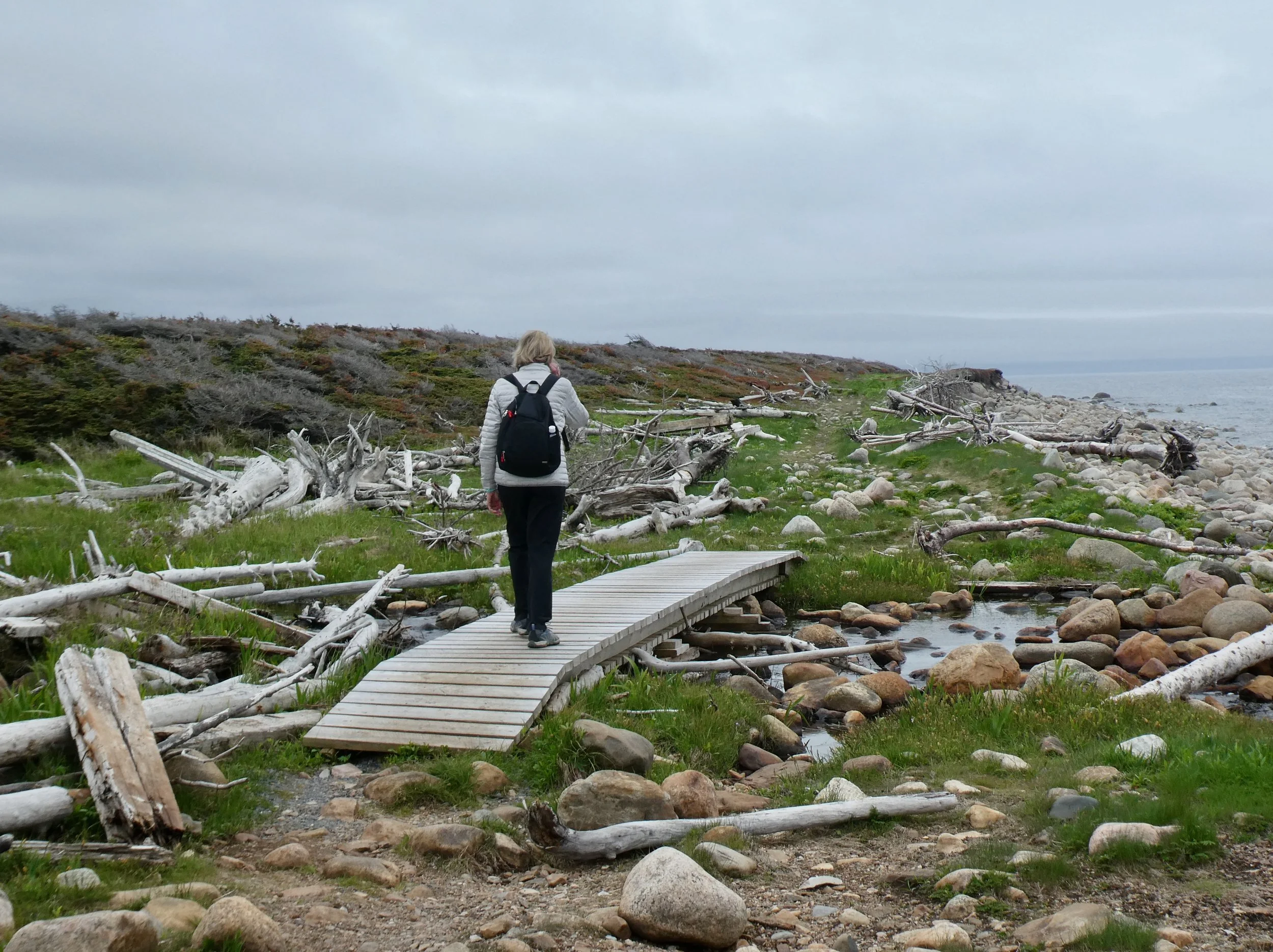
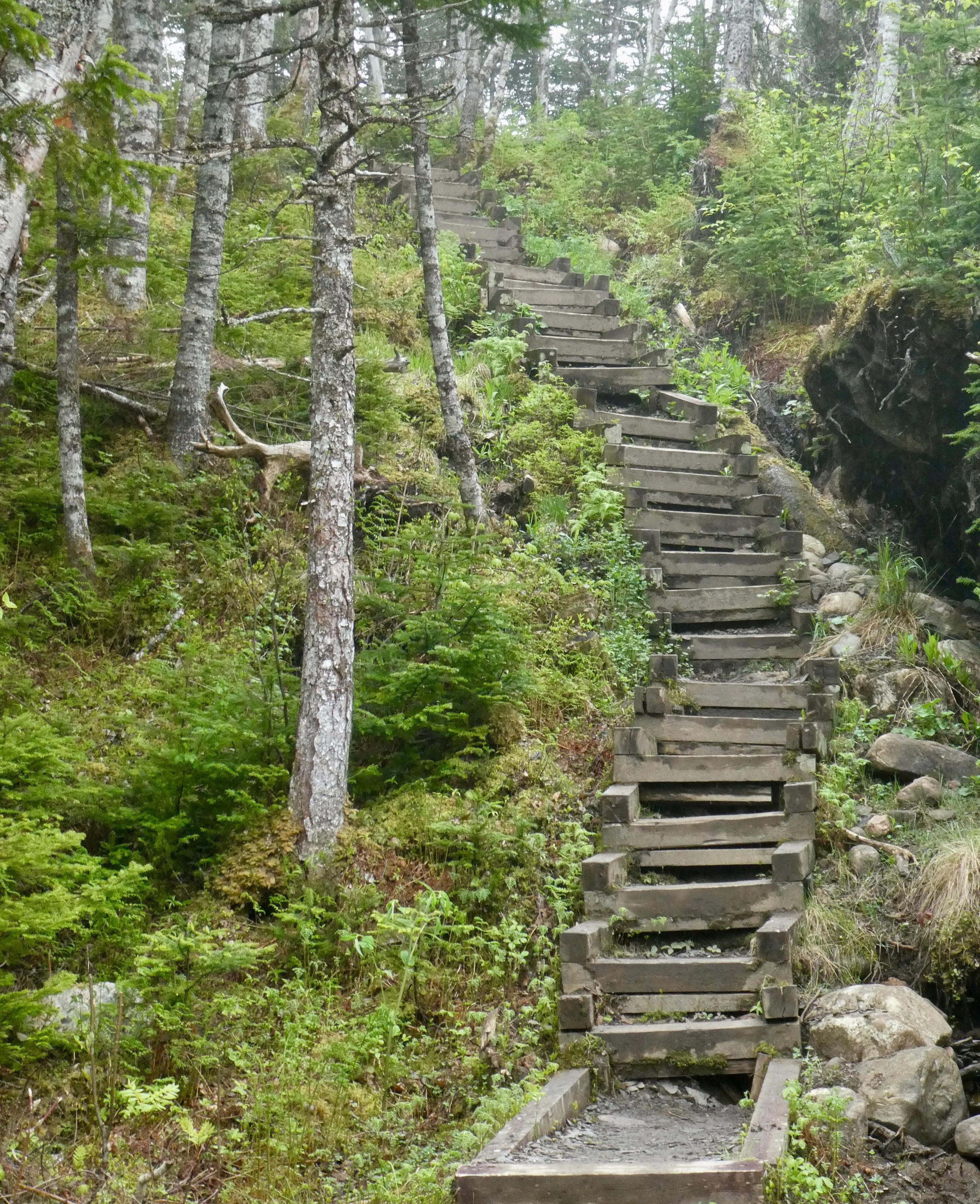
The weather is and will be a factor on your visit to Newfoundland - Labrador. Locals say the summer starts on July 1 and ends on August 15th. Cloudy and rainy days with coastal fog coming and going are what you can expect most days. Weather changes quickly so keep that in mind if you are out and about on a hike.
The Trans Canada Highway runs through the centre of the province and is in good condition. But any road off this highway will more than likely be a pot holed mess. Potholes Ahead signs are everywhere.
The second most popular sign after the pothole signs are the Danger Beware of Moose Crossing Road signs. It is estimated that there are 110,000 moose in Newfoundland - Labrador. That is one moose for every 5 people living there, that’s a lot of moose on the loose.


Here is my suggestion on a 12 day itinerary going West to East across Newfoundland.
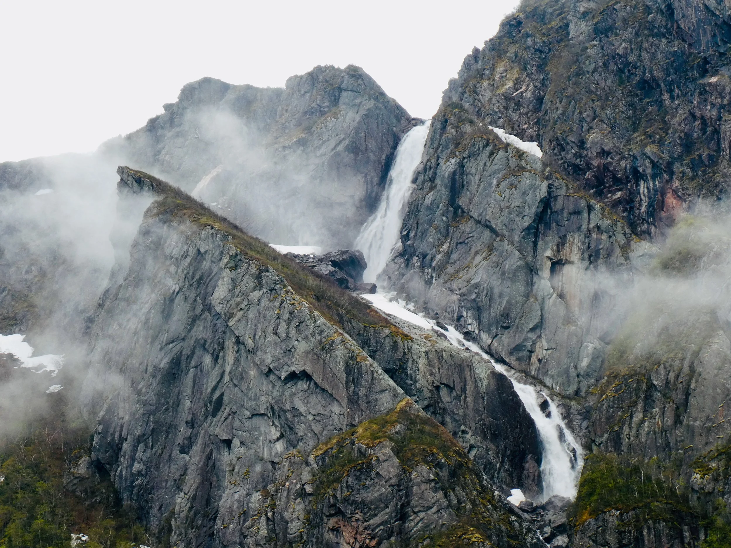
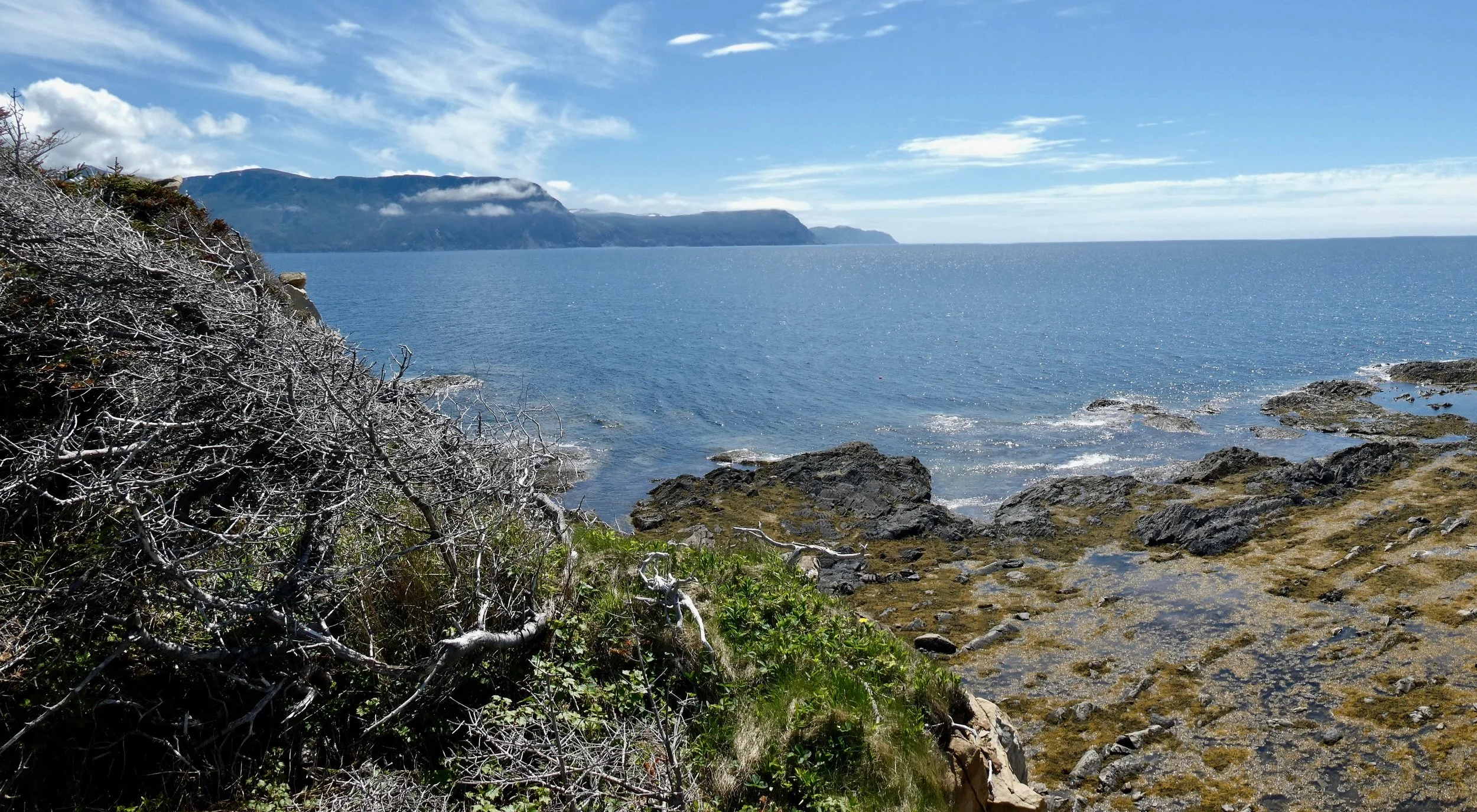
Gros Morne- Rocky Harbour
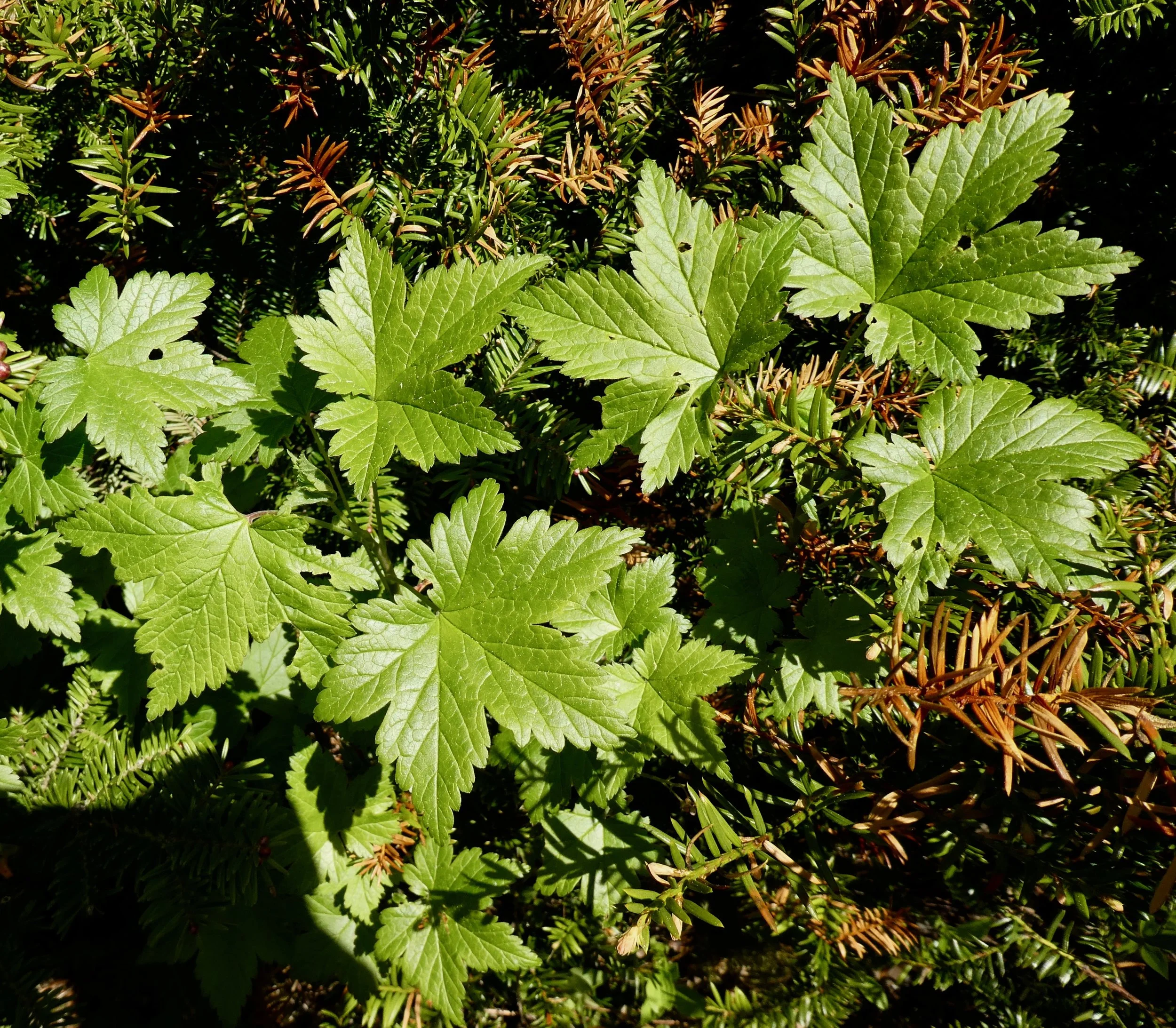
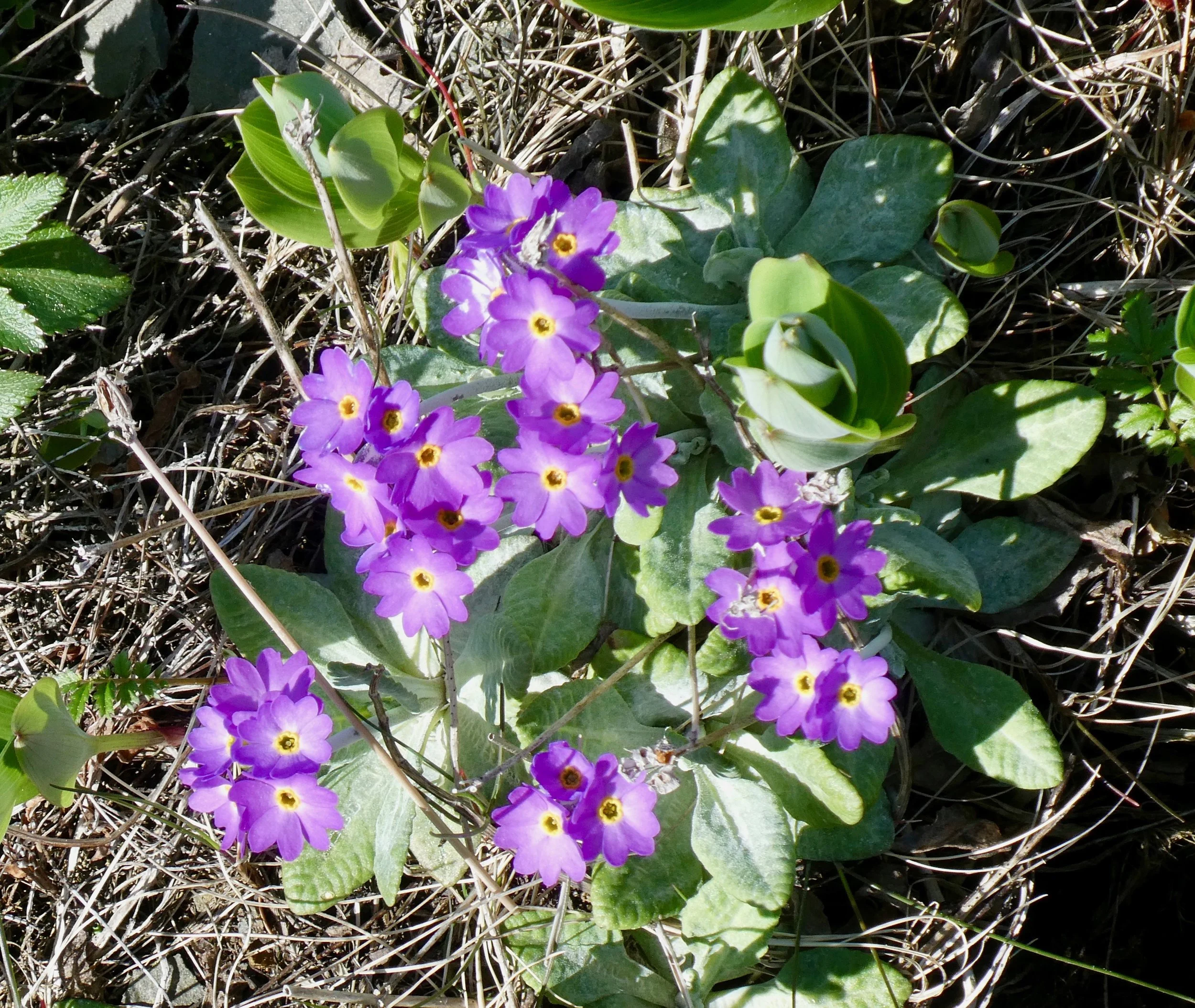
is a great location to start a trip to Newfoundland. Stay in the Rocky Harbour area which is actually in the middle of one of Canada’s most beautiful national parks - Gros Morne. This is where you will get introduced to amazing seafood, spectacular scenery and great hiking.
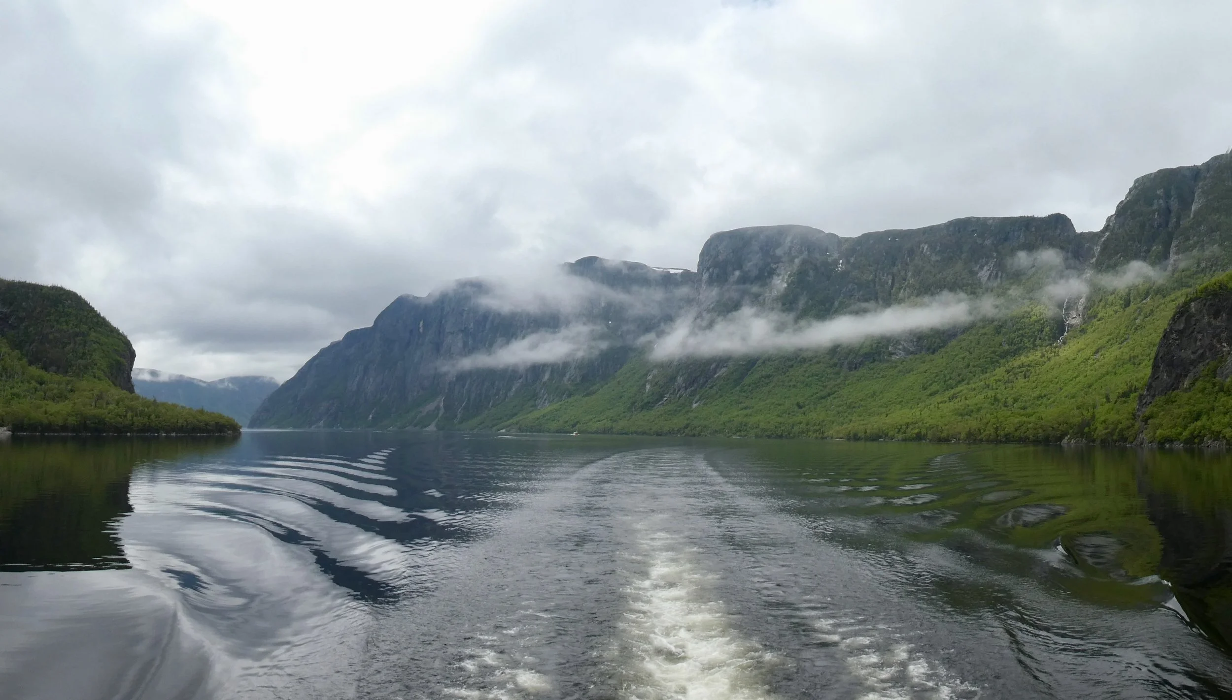
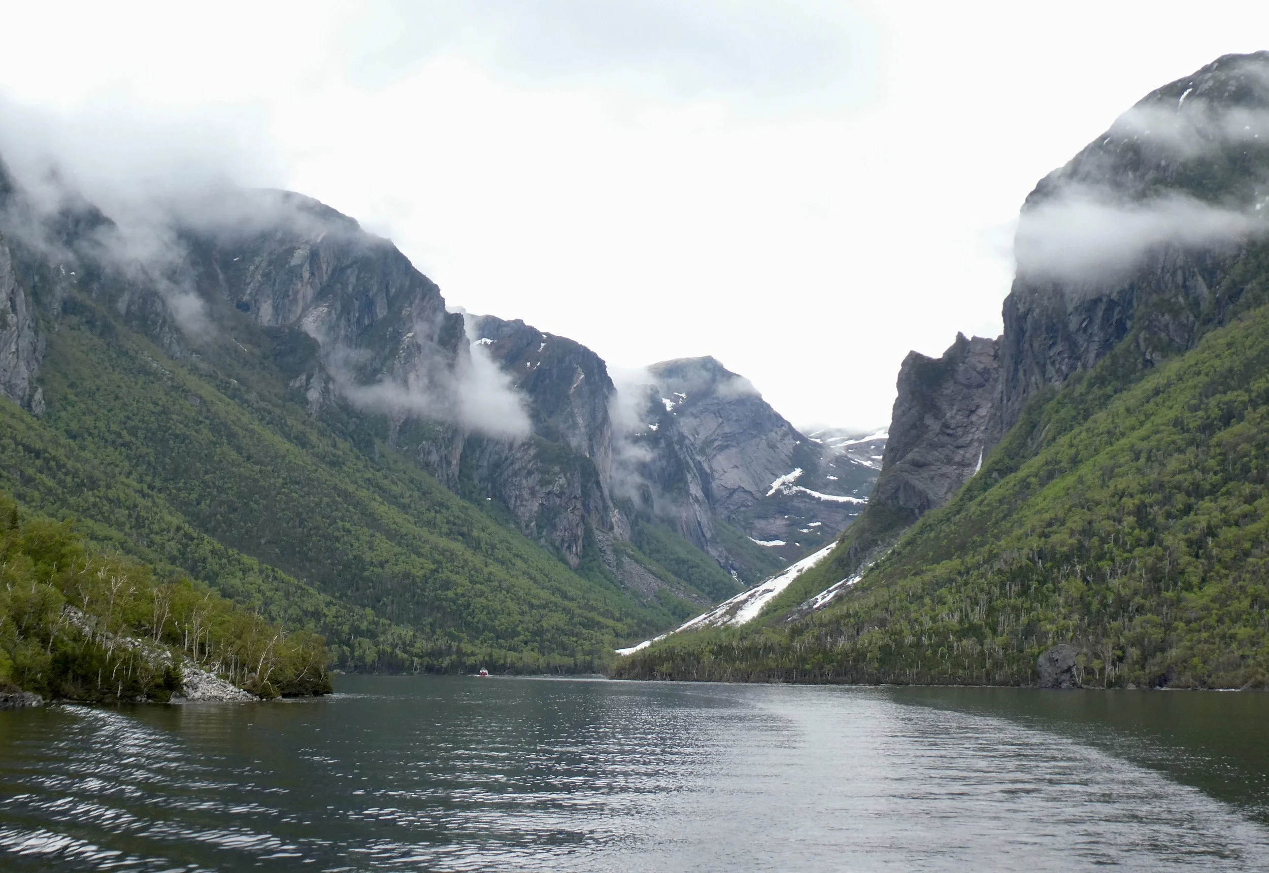
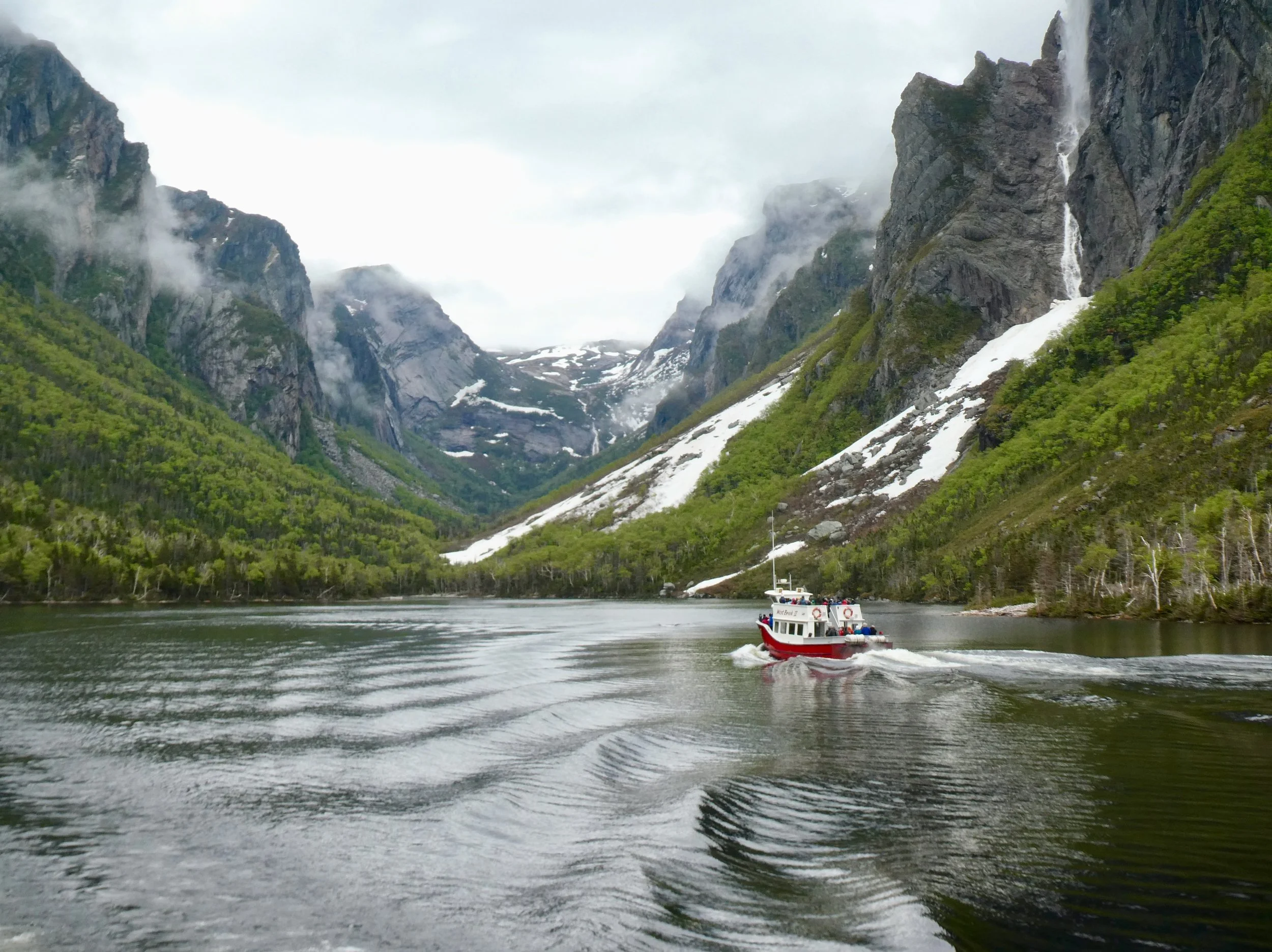
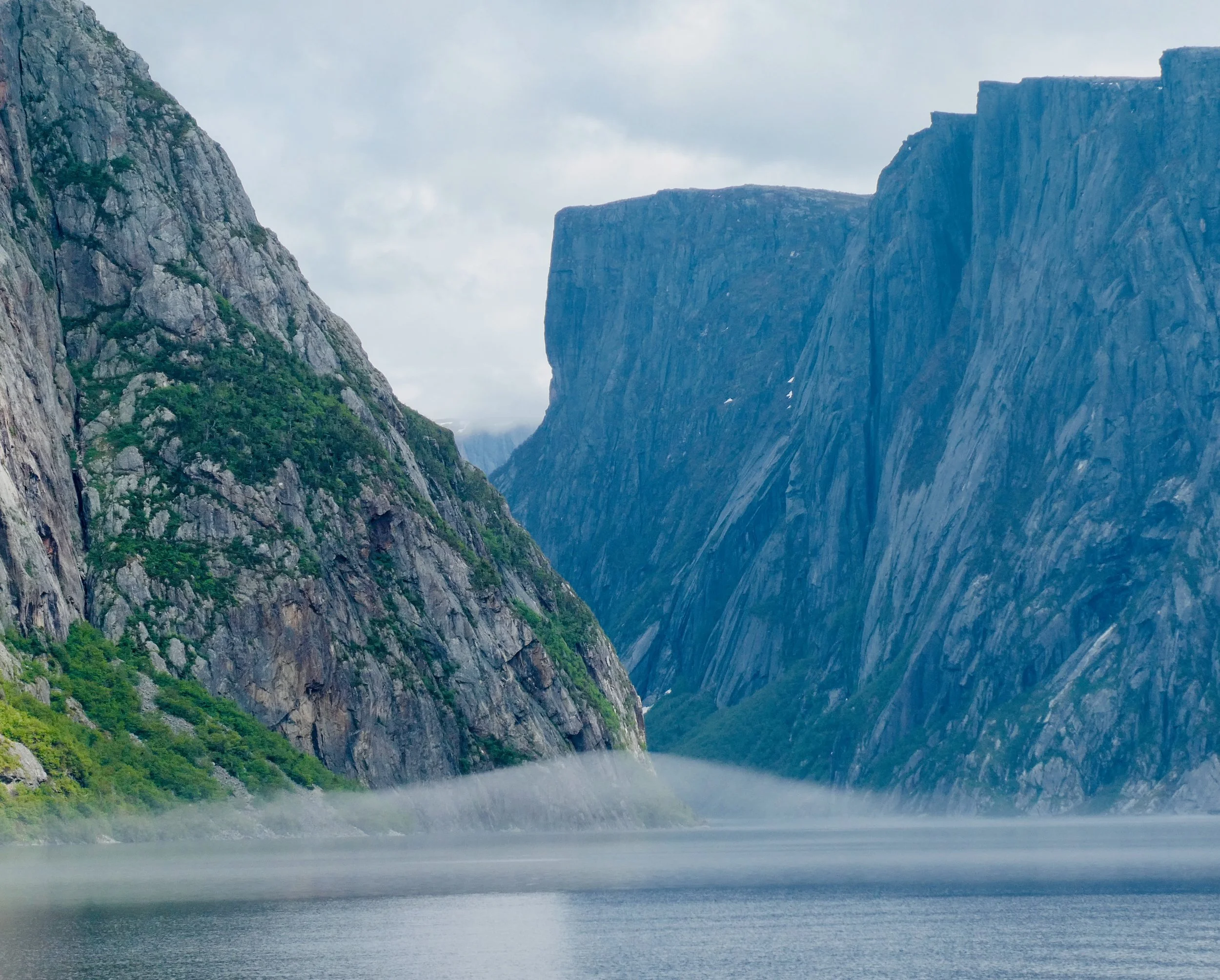
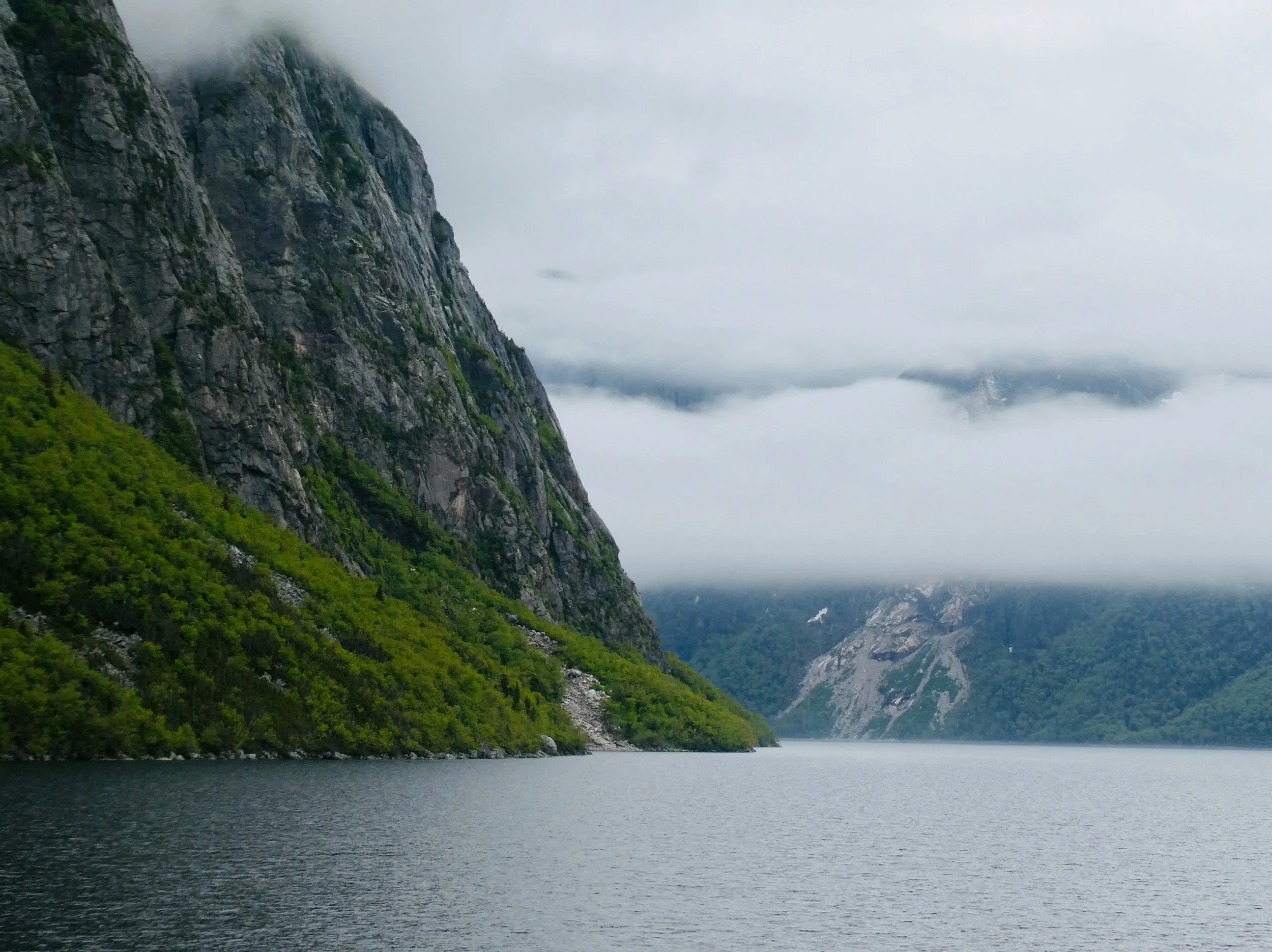
Western Brook Pond
is a Canadian fjord or lake located in Gros Morne National Park. It is in the Long Range Mountains, the most northern section of the Appalachian Mountains